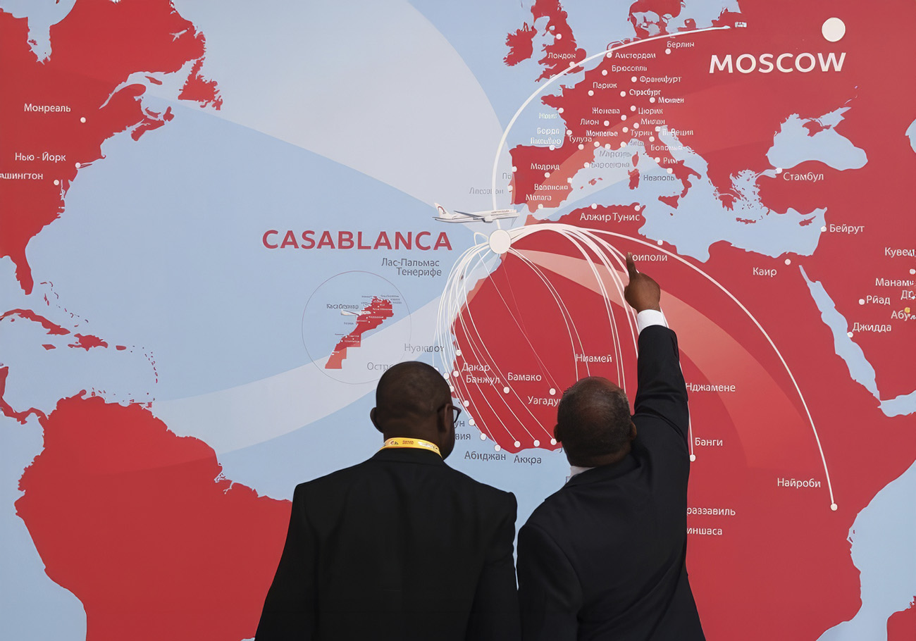


An initiative supported by the African Union and several public organizations aims to finally give Africa its rightful place on modern cartographic representations by increasing the continent's size. This was reported by Sputnik Belarus, citing a statement from the South African radio station SABC.
The reason for this effort lies in the widely used Mercator projection, created by Flemish geographer and cartographer Gerardus Mercator in 1569. This projection, primarily designed for navigational purposes, has a significant drawback: it distorts the actual sizes of continents, enlarging them as they move away from the equator toward the poles. As a result, for example, Greenland appears significantly larger than Africa on Mercator maps, even though the African continent is actually 14 times bigger.
It is noted that the Mercator map was developed for navigation, and accurately representing the sizes of continents was not its goal. However, it continues to be used in the creation of modern maps.
Public organizations Africa No Filter and Speak Up Africa raised the issue of abandoning the Mercator projection six years ago. The executive director of Africa No Filter, Moky Makura, emphasized that Africa's size on most world maps is incorrect.
"This is the world's longest-running campaign of misinformation and false representation, and it simply must stop," he said.
Now, with the support of the African Union, this initiative is reaching a new level. Plans are underway to establish a special expert group through the UN. Their task will be to develop a new world map that corrects the errors of the Mercator projection and ensures a more accurate and fair representation of the sizes of all continents, including Africa. This step is intended not only to fix cartographic inaccuracies but also to promote a deeper understanding and respect for the African continent on the global stage.